Skip to main content
Log in
|
Sign up
Home
Browse
About NCAP
Galleries
News
Features
Products & Services
Applications
Enquiries & Support
Images
Map
Finding Aids
Air Units
Countries
Our Work
Our Collections
Meet the NCAP Team
Subscriptions
Image Sales
Paid Image Search
Search Room
Photogrammetric Imaging
Explosive Ordnance Disposal (EOD)
Creative Uses
Boundary Disputes
Land-use Change
Police Investigation
Guides
How to use the website
Technical Terms
FAQs
Resources
Contact Us
13 images found
Active selections:
Coordinates: 0.717132523,51.43907369,0.727132523,51.44907369
[clear]
Refine your results
KML
Loading...
Date range (both required)
Camera position
Keywords
From
Date
E.g., 25 Feb 2025
clear
To
Date
E.g., 25 Feb 2025
clear
- Select -
Vertical
Oblique
Ground
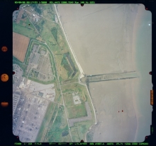
Grain Tower; Isle of Grain ...
Add favourite
Buy
AF/97C/0719
3967
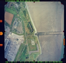
Grain Tower; Isle of Grain ...
Add favourite
Buy
AF/97C/0719
4016
Grain Tower; Isle of Grain ...
Add favourite
Buy
AF/97C/0719
4017
Queenborough Spit; Queenbor...
Add favourite
Buy
AF/97C/0720
4133
Queenborough Spit; Queenbor...
Add favourite
Buy
AF/97C/0720
4134
Grain; Isle of Grain CP; Me...
Add favourite
Buy
HSL/KENT/67/00 ...
1286
Grain Tower; Isle of Grain ...
Add favourite
Buy
2187
Grain Tower; Isle of Grain ...
Add favourite
Buy
HSL/UK/72/0085
6348
Garrison Point; Kent; England
Add favourite
Buy
BKS/UK/00/0041
2251
Garrison Point; Kent; England
Add favourite
Buy
BKS/UK/00/0041
2289
Garrison Point; Kent; England
Add favourite
Buy
BKS/UK/00/0038
2013
Grain Tower; Isle of Grain ...
Add favourite
Buy
GEONEX/0063/85
0109
Grain Tower; Isle of Grain ...
Add favourite
Buy
GX/11984
SG_0383