

Stotfield; Drainie; MORAYSHIRE; SCOTLAND
Subscription required for access to zoomable images
Frame details
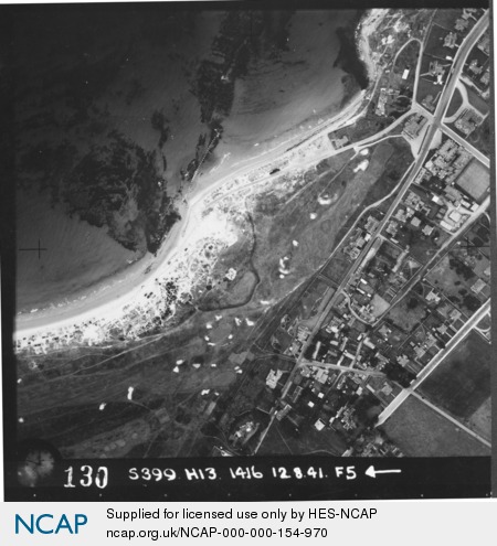
Date: 12 August 1941
Location: Stotfield; Drainie; MORAYSHIRE; SCOTLAND
Coordinates (lat, lon): 57.720740, -3.299900
Description: Branderburgh/Lossiemouth-Covesea Skerries
Location: Stotfield; Drainie; MORAYSHIRE; SCOTLAND
Coordinates (lat, lon): 57.720740, -3.299900
Description: Branderburgh/Lossiemouth-Covesea Skerries
Image type: Vertical
Scale: 5000
Scale: 5000