

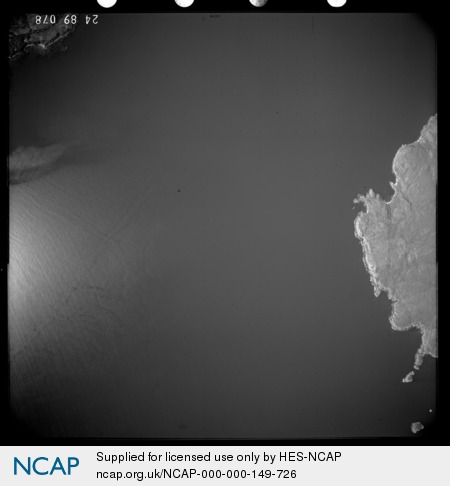
Dun Ban (Fort); Glenelg; INVERNESS-SHIRE; SCOTLAND
Subscription required for access to zoomable images
Frame details
Date: 15 June 1989
Location: Dun Ban (Fort); Glenelg; INVERNESS-SHIRE; SCOTLAND
Coordinates (lat, lon): 57.060669, -5.823471
Description: Part of the All Scotland Survey.
Location: Dun Ban (Fort); Glenelg; INVERNESS-SHIRE; SCOTLAND
Coordinates (lat, lon): 57.060669, -5.823471
Description: Part of the All Scotland Survey.
Image type: Vertical
Scale: 24000
Scale: 24000