

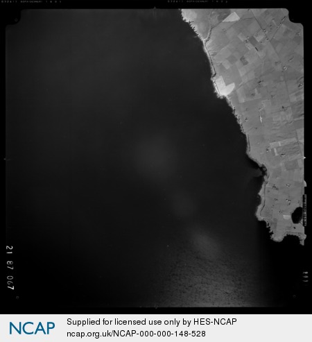
Tongue of Gangsta; Holm; ORKNEY; SCOTLAND
Subscription required for access to zoomable images
Frame details
Date: 29 September 1987
Location: Tongue of Gangsta; Holm; ORKNEY; SCOTLAND
Coordinates (lat, lon): 58.904375, -2.965456
Description: Part of the All Scotland Survey.
Location: Tongue of Gangsta; Holm; ORKNEY; SCOTLAND
Coordinates (lat, lon): 58.904375, -2.965456
Description: Part of the All Scotland Survey.
Image type: Vertical
Scale: 24000
Scale: 24000