

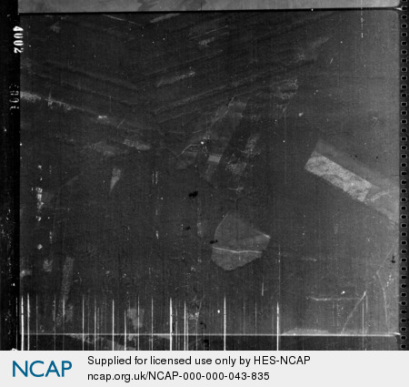
Friedersdorfer Heide; Southwest Brandenburg; Germany
Subscription required for access to zoomable images
Frame details
Date: 16 March 1945
Location: Friedersdorfer Heide; Southwest Brandenburg; Germany
Coordinates (lat, lon): 52.300434, 13.822206
Description: This aerial photograph was digitised for the BBC documentary Operation Crossbow.
Location: Friedersdorfer Heide; Southwest Brandenburg; Germany
Coordinates (lat, lon): 52.300434, 13.822206
Description: This aerial photograph was digitised for the BBC documentary Operation Crossbow.
Image type: Vertical
Scale: 8333
Scale: 8333