

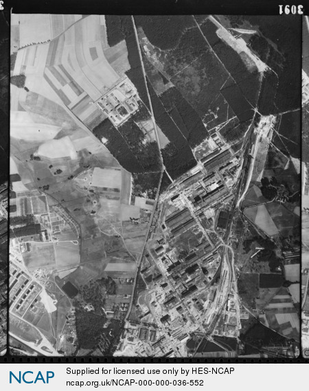
Dyhernfurth; Lower Silesian Province; Poland
Subscription required for access to zoomable images
Frame details
Date: 13 September 1944
Location: Dyhernfurth; Lower Silesian Province; Poland
Coordinates (lat, lon): 51.276652, 16.731595
Description: This aerial photograph was digitised for the BBC documentary Operation Crossbow.
Location: Dyhernfurth; Lower Silesian Province; Poland
Coordinates (lat, lon): 51.276652, 16.731595
Description: This aerial photograph was digitised for the BBC documentary Operation Crossbow.
Image type: Vertical
Scale: 9800
Scale: 9800