

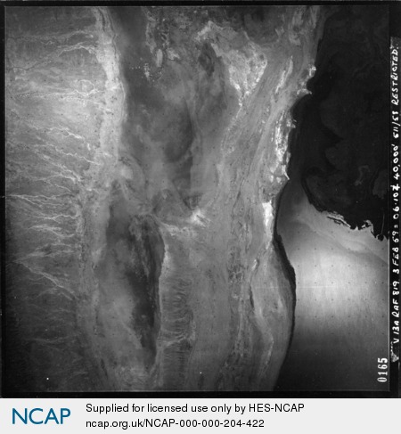
Todenyang; Rift Valley; Kenya
Subscription required for access to zoomable images
Frame details
Date: 03 February 1949
Location: Todenyang; Rift Valley; Kenya
Coordinates (lat, lon): 4.518004, 35.914099
Description: This aerial photograph was digitised for the - Creating a Vision of the Commonwealth - Project.
Location: Todenyang; Rift Valley; Kenya
Coordinates (lat, lon): 4.518004, 35.914099
Description: This aerial photograph was digitised for the - Creating a Vision of the Commonwealth - Project.
Image type: Vertical
Scale: 25000
Scale: 25000