

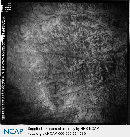
Naporoto; Kaabong; Uganda
Subscription required for access to zoomable images
Frame details
Date: 20 February 1958
Location: Naporoto; Kaabong; Uganda
Coordinates (lat, lon): 3.762623, 34.177088
Description: This aerial photograph was digitised for the - Creating a Vision of the Commonwealth - Project.
Location: Naporoto; Kaabong; Uganda
Coordinates (lat, lon): 3.762623, 34.177088
Description: This aerial photograph was digitised for the - Creating a Vision of the Commonwealth - Project.
Image type: Vertical
Scale: 80000
Scale: 80000