Natural Environment Research Council
|
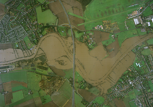
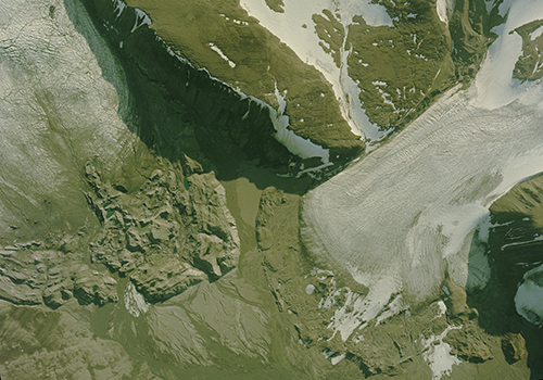
The Natural Environment Research Council (NERC) collection contains over 27,300 aerial photographs of locations in the UK, Greece, Italy, Norway and Spain. Dating from 1981-2005, the photography was taken on behalf of the British Geological Survey (BGS) to assist its research programmes.
Initially, commercial survey firms including Hunting Surveys Ltd and J A Storey Ltd were contracted to collect imagery, until NERC acquired its own survey capability in 1983. Known as the Airborne Research and Survey Facility (ARSF), the aircraft carried a variety of multi-spectral sensors to enable it to collect data for a multitude of environmental research projects.
The ARSF was transferred to the management of the British Antarctic Survey in 2014, and subsequently to the Facility for Airborne Atmospheric Measurements. The ARSF film archive was held by BGS until 2015 when it was transferred to the care of NCAP.


